LOCATION: (lat. 28°32'48.3" N., long. 82°37'30.8" W.)
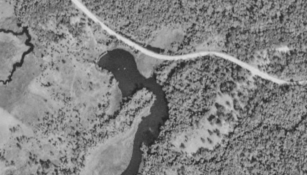
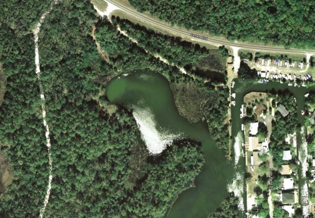
The spring is located at the head of the "Mud River", a tributary to the Weeki Wachee river. From US 19, head West on SR 50, continue past the intersection of Shoal Line Blvd. (595) another 1/2 mile. The Spring is 400 ft in on the South side of the road just East of a fish camp.
DESCRIPTION:
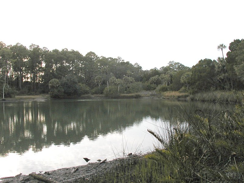
The spring can form a surface boil at low tide indicating is location if the large basin. As it's name implies, the water looks like mud. Depths in the spring and cave system are reported to be in excess of 200 ft with a strong flow and no mention of increased visibility. The water and basin are full of the reddish-brown flakes found in nearby Little Salt Spring, there's just more of it here.
